The Washington Department of Natural Resources has begun using remotely operated camera systems placed around the state that scan for signs of wildfire and quickly alert authorities to respond.
The new pilot program was updated Thursday, Sept. 7, in a presentation by state Lands Commissioner Hilary Franz, DNR officials and representatives from two private companies, Pano AI and T-Mobile, which are providing technical operations and support for the fire detection system under an agreement with the state agency.
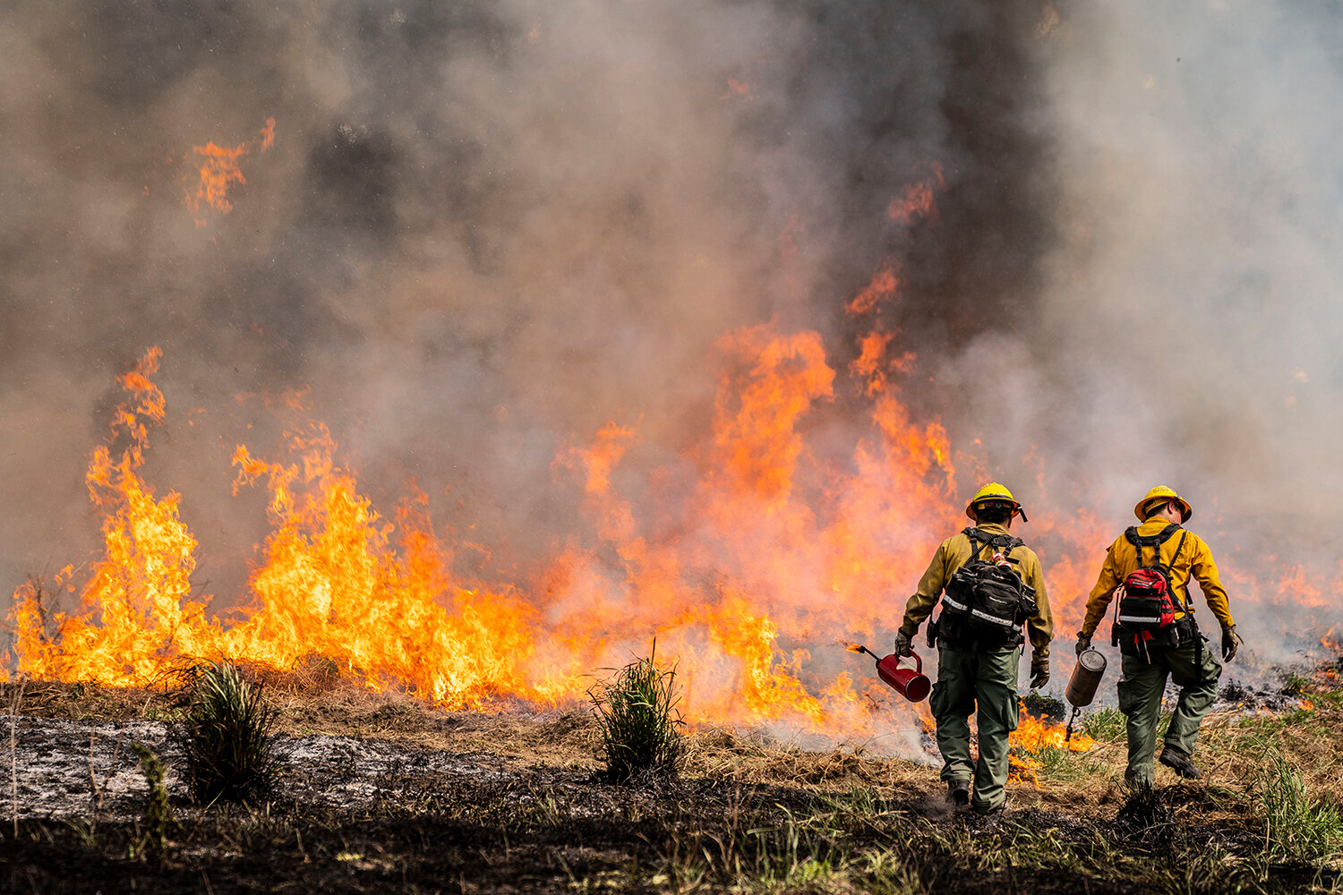
Two wind-driven wildfires that rapidly spread across Spokane County last month — burning hundreds of homes, thousands of acres, and prompting mass evacuations — were a sobering reminder that “we are all at risk,” said Franz.
Consequently, employing another tool that aids a fast response can be critical in confining a blaze, saving property and lives, and reducing costs, she said.
Currently, an outside fire is often reported by someone calling 911, but it may be hours before it is detected and its location and size are verified. The ability to remotely monitor certain critical areas day and night helps. San Francisco-based Pano AI’s technology can expedite such assessments, said CEO Sonia Kastner, who founded the company in 2020, and business development manager Kat Williams, a former wildland firefighter.
Pano AI detection stations are placed on elevated vantage points using ultra-high-definition, 360-degree cameras which continuously scan the landscape and use artificial intelligence to spot, evaluate, and signal wildfire activity within a 15-mile radius. If a suspected fire is detected, human monitors are alerted for confirmation and appropriate responders are notified.
“We can monitor and deploy resources if needed … depending on what we’re seeing out in the field with the cameras,” said Angie Lane, a wildfire management official with the Department of Natural Resources.
Wireless connectivity is provided by T-Mobile’s 5G network, which can rapidly deliver “huge amounts of data,” said Kastner and Erin Raney, T-Mobile’s senior director of network technology services and innovation.
DNR now has nine detection stations in place with plans to add a dozen more by next summer. Other “legacy cameras” and satellite information are also utilized. Site locations are determined by several factors including fire occurrence over the last 10 years, DNR jurisdiction, burn probability, wildland-urban interface, and extended view capability.
But two dozen cameras “don’t get you too far” in monitoring critical areas across expansive Washington state, said Franz. Consequently, DNR is seeking partnerships with public lands managers, tribes, utility companies, large homeowner associations, insurers, and others.
Kastner said Pano AI has been supplying its technology to smaller entities in other states, but DNR is the company’s first overall state customer.
“Hilary Franz is a technology trailblazer,” Kastner said. “We’re grateful for the partnership.” Added Williams: “We’re here to keep all wildfires small, to protect communities … (and) protect firefighters.”
To date, said Franz, 1,750 wildfires have been reported statewide but only 155,000 total acres have burned and 95% were confined to 10 acres or less. That’s a relatively small amount compared to hundreds of thousands of acres scorched over the past decade, including an increasing number in western Washington which has grown more prone to fires due climate changes.
In addition to cameras from Pano AI, the Department of Natural Resources is using other technologies to fight wildfires such as deployable Starlink satellite packages, an expanded radio repeater network for smartphones, and “Cellular on Wheels” capability to increase cell and WiFi coverage connecting firefighters and incident commanders.
Franz said the disaster-preparedness technology will complement increased funding provided by the state legislature in recent years to add more firefighters, ground equipment and aerial resources.