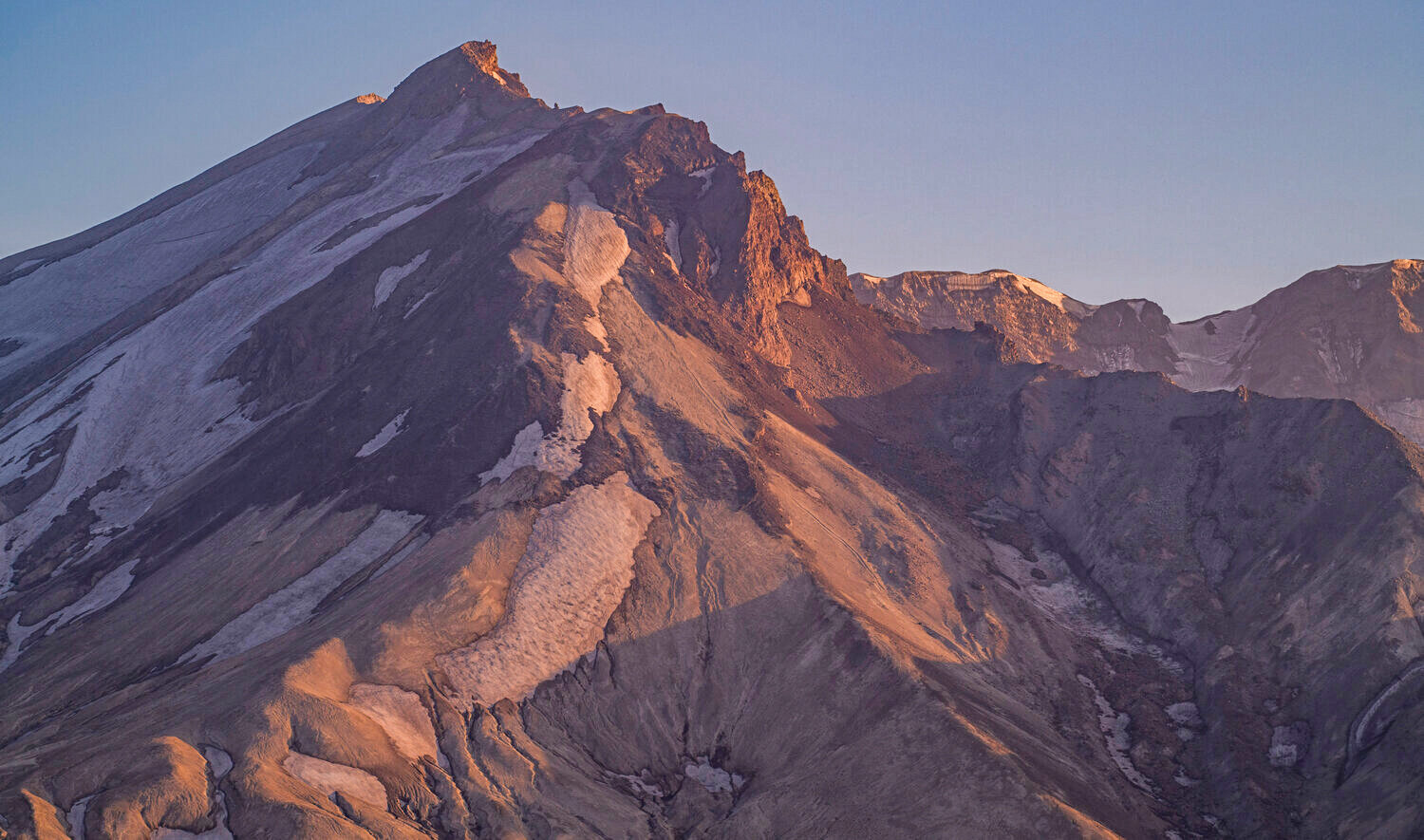
At Mount St. Helens, more than 400 earthquakes have been recorded by the Pacific Northwest Seismic Network since July 15, according to a statement by the U.S. Geological Survey (USGS) late last month.
From late August to early September, about 40 to 50 earthquakes were located per week, and more recently, the number has been about 30 earthquakes per week, according to USGS.
To compare, since 2008, on average about 11 earthquakes have been located per month at Mount St. Helens.
“Over the past three months, seismicity at Mount St. Helens has been elevated but remains within the normal range of background seismicity,” USGS stated. “Most of the earthquakes have been less than magnitude 1.0 and too small to be felt at the surface. No significant changes have been observed in other monitoring data and there are no signs of an imminent eruption.”
The largest earthquake in this recent period was a magnitude 2.4 that occurred on Aug. 27. Earthquake depths are between 1.2 and 3.7 miles below sea level, which is approximately 2.5 to 5 miles below the crater floor, according to USGS.
No changes have been detected in ground deformation, volcanic gas or thermal emissions at Mount St. Helens. No changes have been observed at other Cascade Range volcanoes.
According to USGS, short-term increases in earthquake rates are common at Mount St. Helens and are considered part of the background seismicity. The current seismicity represents the largest short-term increase in earthquake rates since the last eruption ended in 2008. However, longer duration sequences with more events occurred from 1988 to 1992, 1995 to 1996 and 1997 to 1999. None of the sequences in the 1980s and 1990s directly led to eruptions.
“Small magnitude earthquakes located beneath Mount St. Helens at depths well below sea level are generally thought to be associated with pressurization of the magma transport system,” USGS stated. “One cause for this pressurization is the arrival of additional magma, a process called recharge.”
Mount St. Helens is fed by magma that forms near the base of the crust at depths of about 16 miles. Magma slowly rises through the lower crust and accumulates in a reservoir about 2.5 to 6 miles below sea level. Recharge events can occur when magma enters this upper reservoir, increasing stresses that lead to earthquakes, according to USGS.
High rates of seismicity, interpreted as recharge, have been observed in the past at Mount St. Helens and at other volcanoes and can continue for many years without an eruption.
Learn more at usgs.gov/vol canoes/mount-st.-helens.