


May 18 marked the 42nd anniversary of the eruption of Mount St. Helens.
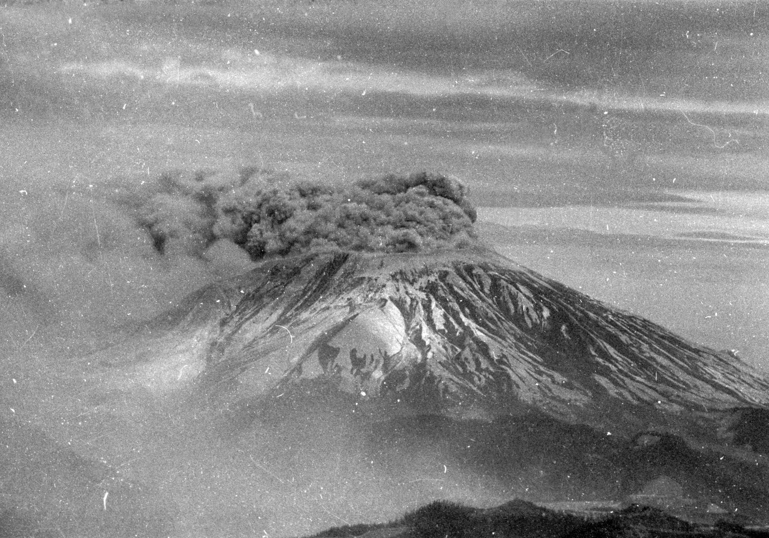
At 8:32 a.m. on May 18, 1980, Mount St. Helens collapsed in the largest landslide in recorded history following a magnitude 5.1 earthquake, which was famously relayed in a radio transmission by United States Geological Survey volcanologist David A. Johnston. The earthquake was so destructive, it caused the northern face of the mountain to fall and became the deadliest volcanic eruption in United States history. It flattened 230 square miles, killing more than 7,000 big game animals and 57 people, including Johnston himself.
The landslide allowed partly molten rock to explode toward Spirit Lake in a mix of lava and pulverized older rock. The eruption rose as high as 80,000 feet into the atmosphere, depositing ash in 11 states and a number of Canadian provinces. Snow, ice, and several glaciers melted off the volcano as well, which formed volcanic mudslides that reached as far as the Columbia River.
The pyroclastic flow reached temperatures as high as 680 degrees.
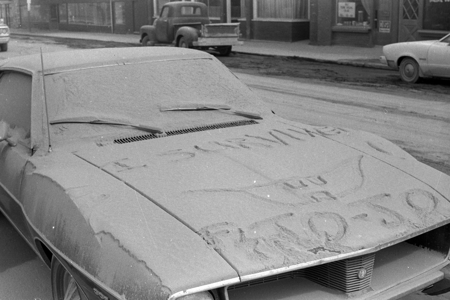
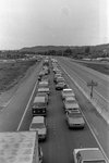
A week after the eruption, strong winds carried ash into Colorado and as far as Minnesota and Oklahoma. In the aftermath, 200 houses, 47 bridges, 15 miles of railways, and 185 miles of highway were destroyed. The corresponding ash damaged sewage and water treatment systems, and caused problems for internal combustion engines and short-circuited electrical transformers, which caused blackouts.
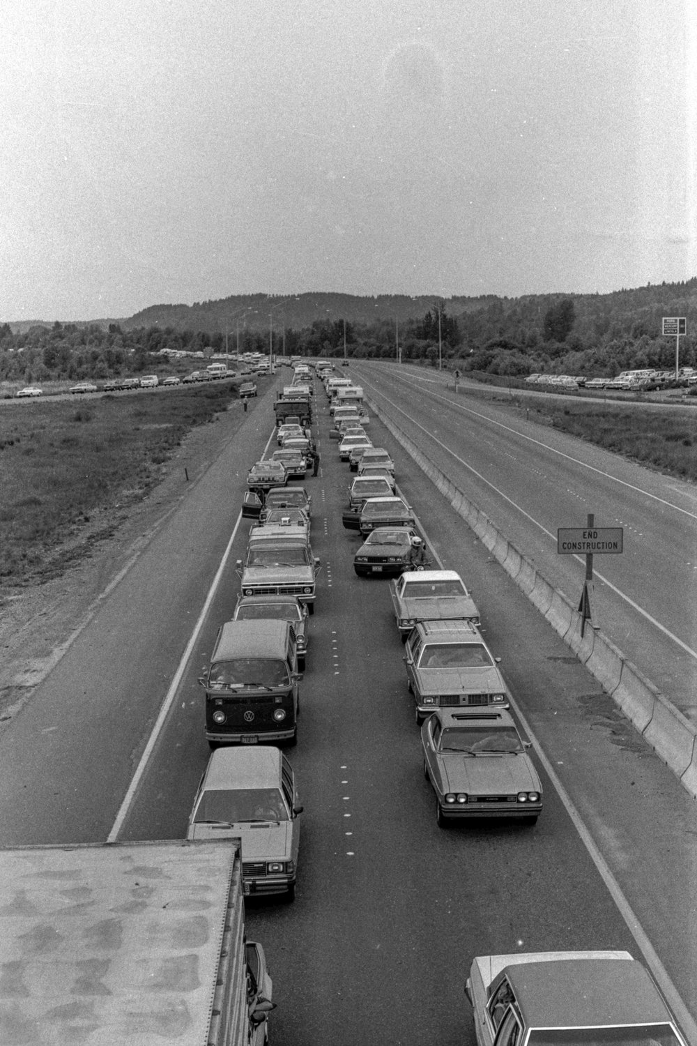
The Chronicle, a sister paper of The Reflector, was among the hundreds of media outlets that documented the disastrous days and the weeks following it. The photographs on this page show scenes from the eruption and the aftermath in the region.