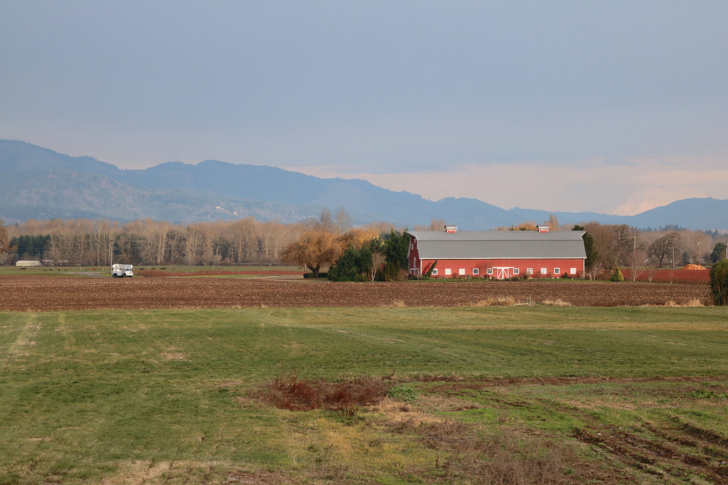
A barn on property in the Woodland Bottoms.
The Woodland Planning Commission is still in the process of considering changes to the city’s urban growth area though they made progress on how they would look at developers’ applications following a nearly three-hour hearing.
The commissioners voted unanimously Jan. 17 to look at eight applications for zoning changes or urban growth area expansions on a case-by-case basis, starting with ones inside city limits first. The urban growth area is land outside of city limits designated for future annexation as laid out in the state Growth Management Act.
Of the applications, six would involve changing existing zoning or placing zoning on parcels added to the urban growth area as residential. During the hearing, Woodland Community Development Director Travis Goddard explained that the focus on residential was due to inconsistencies with current city long-range planning on growth and what is currently available for housing units.
Goddard explained that the city’s 2016 Comprehensive Growth Management Plan update made the assumption of 174 acres available for residential development and adopted a growth scenario with close to 1,300 residential units expected in a 20-year timeframe. Goddard said that by the time he was hired in January 2018 there were only about 23 acres available with close to 400 units built, equating to 13 percent of the land remaining for 70 percent of the residential unit projections.
“There seems to be a disconnect between the 2016 estimate on what would last us 20 years and what will actually last us essentially for the next three to five years,” Goddard said.
Community Development has been working on potential growth map changes since October, having a public participation process including open houses and a survey prior to a Dec. 20 hearing. Deliberation continued to last week’s meeting, and in both cases, the room was filled with citizens concerned over what map changes could mean for the existing quality of life.
The planning commission set hearings for development applications that needed growth map changes inside current city limits for their Feb. 21 meeting, and those that would involve expanding the map for March 21. Once each application is considered the commission moved to make their final recommendations to Woodland City Council at a later date. Council has the final say on what any changes would look like.
The planning commission’s decision was most in line with the third of six scenarios Community Development has been looking at that ranged from no map changes to including all of the Woodland Bottoms, land to the southwest and west of city limits leading to the Lewis and Columbia rivers.
{{tncms-inline content="<p class="p1">&bull; about 21.5 acres on Franklin Loop from commercial to residential<span class="Apple-converted-space">&nbsp;</span></p> <p class="p1">&bull; about half an acre on Woodland View Drive from residential to industrial <span class="Apple-converted-space">&nbsp;</span></p> <p class="p1">&bull; about 6 acres between Atlantic Avenue and Goerig Street from commercial to residential <span class="Apple-converted-space">&nbsp;</span></p> <p class="p1">&bull; about 5.5 acres on Sandalwood Road from commercial to residential<span class="Apple-converted-space">&nbsp;</span></p>" id="8ad4e3e0-da4d-4461-8660-c08269b93105" style-type="info" title="Zoning changes to be considered Feb. 21" type="relcontent"}}
{{tncms-inline content="<p class="p1">&bull; expanding the city&rsquo;s growth boundary to include about 16 acres of land on Dike Access Road and designate it Residential <span class="Apple-converted-space">&nbsp;</span></p> <p class="p1">&bull; expanding the city&rsquo;s growth boundary to include about 57 acres north of the city between Green Mountain Road and Interstate 5, with about 26 acres designated Commercial and 30 acres as Residential</p> <p class="p1">&bull; expanding the city&rsquo;s growth boundary to include about 44 acres on South Pekin Road and designate it Industrial <span class="Apple-converted-space">&nbsp;</span></p> <p class="p1">&bull; expanding the city&rsquo;s growth boundary to include more than 600 acres of land located south of the city between the railroad tracks and the Lewis River, and designate it Residential<span class="Apple-converted-space">&nbsp;</span></p>" id="011a0f8b-8e76-4fb4-a26b-b86609398eb9" style-type="info" title="Zoning changes to be considered March 21" type="relcontent"}}